On the Trails
Trails
Real maps for getting outside in The Burg — battlefields to backyards.
Trail Map · The Region
Every Path We've Charted
12 trails plotted · ● Easy · ● Moderate · ● Hard
Tracing the trails…
© OpenStreetMap contributors (ODbL) · Trail care: City of Fredericksburg, National Park Service, Virginia DCR · Conditions change — check before you go
Editor's Favorites
Where We'd Take You First
Virginia Central Railway Trail
The Burg’s backbone rail-trail: a smooth paved line you can walk, run, or roll end to end.
Flat, paved rail-trail — stroller and wheelchair friendly
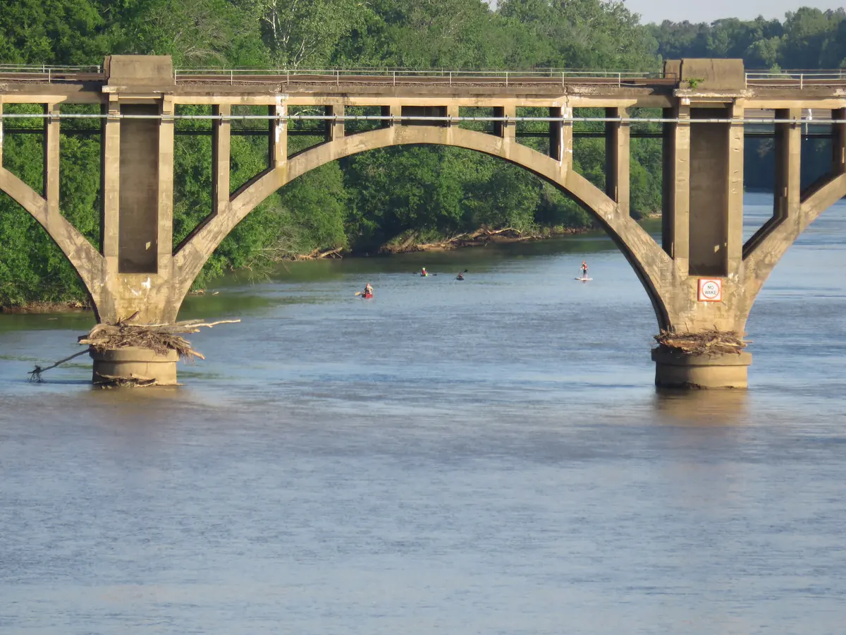
Canal Path
A short, pretty walk along the canal and river right at the edge of downtown.
Follows the old canal beside the Rappahannock
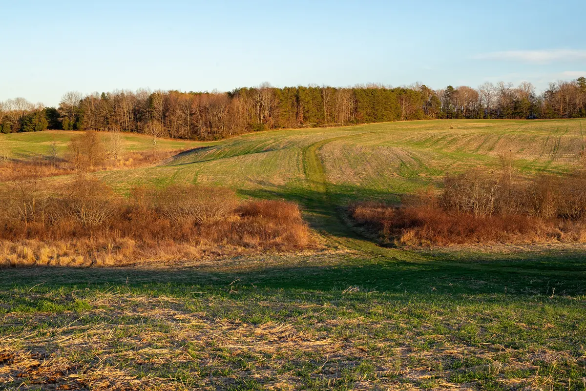
Federal Line Trail
The longest battlefield trail in town — history underfoot, the whole Federal line in one walk.
Walks the historic Union line along Lee Drive
Motts Run Reservoir Trails
The Burg’s wild side — a long lakeside network of woods, water, and boardwalk at Motts Run.
Miles of lakeside woods and boardwalk
Crow's Nest Point Trail
A walk into one of Virginia’s great natural area preserves, out toward the water’s edge.
Walks out toward the peninsula between two tidal creeks
All Trails
Pick Your Walk
12 trails
Canal Path
A short, pretty walk along the canal and river right at the edge of downtown.
Follows the old canal beside the Rappahannock
Heritage Trail
A paved in-town stretch that ties shopping-side Fredericksburg into the trail network.
Paved connector near Central Park
Hop Yard Farm Walking Path
Proof the Burg’s trails reach the neighborhoods too — an easy walk right where people live.
A neighborhood walking path — no drive required
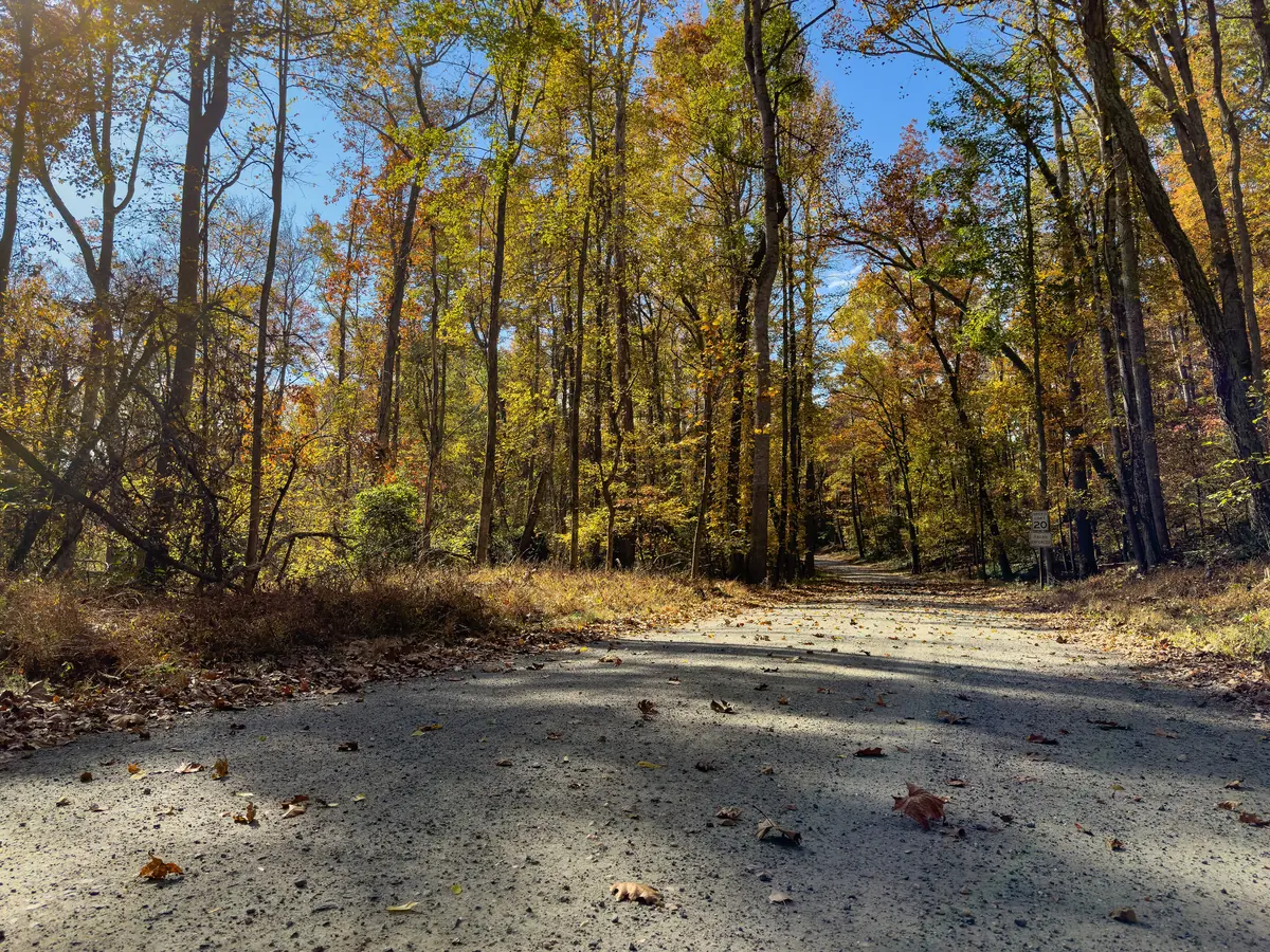
First Day at Chancellorsville Trail
A well-graded gravel loop that walks you through how the first day unfolded.
Gravel loop, easy footing
Accokeek Loop Trail
A peaceful forest loop in the Crow’s Nest preserve for when you want the long version of quiet.
Forested loop inside Crow’s Nest
Crow's Nest Point Trail
A walk into one of Virginia’s great natural area preserves, out toward the water’s edge.
Walks out toward the peninsula between two tidal creeks
Virginia Central Railway Trail
The Burg’s backbone rail-trail: a smooth paved line you can walk, run, or roll end to end.
Flat, paved rail-trail — stroller and wheelchair friendly
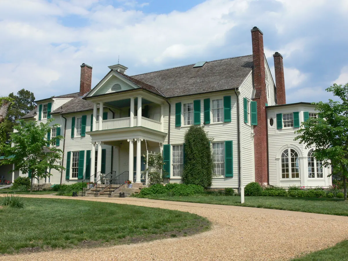
Belmont–Ferry Farm Trail
A riverside link that hops the Rappahannock between town and Ferry Farm.
Crosses the Rappahannock with real river views
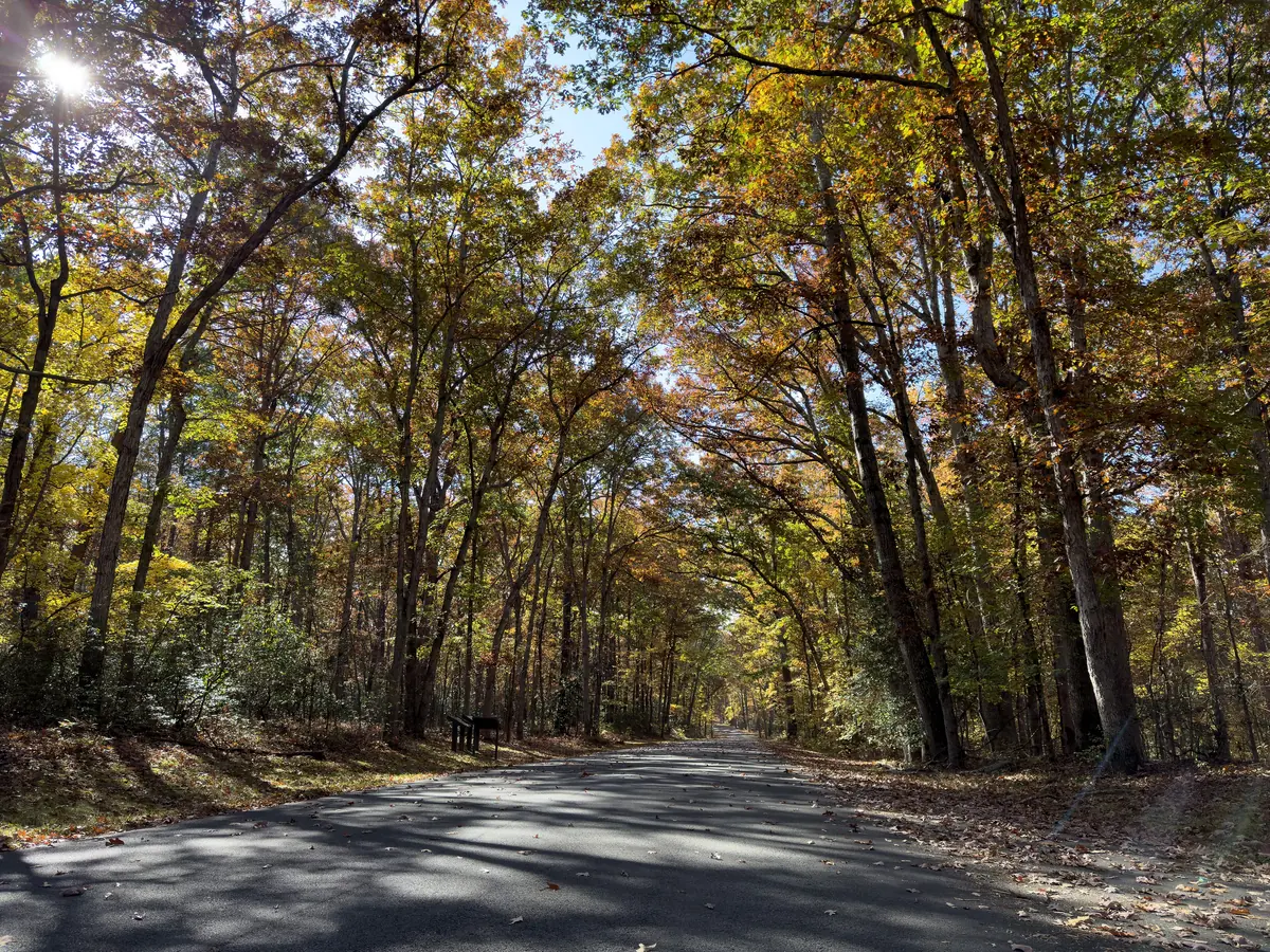
Chancellorsville History Loop
A wooded loop through the ground where the 1863 battle turned — go slow and read the markers.
Loops the core of the Chancellorsville battlefield
Federal Line Trail
The longest battlefield trail in town — history underfoot, the whole Federal line in one walk.
Walks the historic Union line along Lee Drive
Motts Run Reservoir Trails
The Burg’s wild side — a long lakeside network of woods, water, and boardwalk at Motts Run.
Miles of lakeside woods and boardwalk
Dahlgren Railroad Heritage Trail
The region’s long-haul rail-trail east of the Burg — a real day’s walk if you want one.
A long rail-bed cutting clear across King George